Natural world · Evidence-led place record
Kebumen UNESCO Global Geopark
ID
Explore Seboro Village, home to two iconic geosites—Lava Bantal and Lincak Merah—featuring volcanic rock formations and vividly coloured layers that date back 80 million years.Learn about community-led turtle conservation efforts at Jogosimo, Tambak Mulyo, and Lembu Purwo Beach, where eggs are safeguarded from poaching and nurtured in secure hatching areas.Engage with the rich cultural tapestry of Kebumen, shaped by diverse historical influences and expressed through local crafts, traditional cu
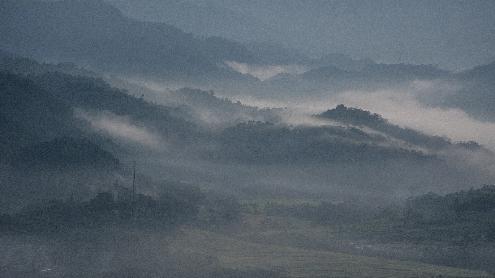
The oddity, explained
Why is Kebumen UNESCO Global Geopark unusual?
Kebumen UNESCO Global Geopark appears here because the approved source classifies it as natural world. The source describes it as Explore Seboro Village, home to two iconic geosites—Lava Bantal and Lincak Merah—featuring volcanic rock formations and vividly coloured layers that date back 80 million years.Learn about community-led turtle conservation efforts at Jogosimo, Tambak Mulyo, and Lembu Purwo Beach, where eggs are safeguarded from poaching and nurtured in secure hatching areas.Engage with the rich cultural tapestry of Kebumen, shaped by diverse historical influences and expressed through local crafts, traditional cu. Heritage Atlas treats that specific classification-and-description combination as the oddity; the score is a comparative discovery signal, not proof of mystery or the supernatural. Compare nearby records and the linked country or category collection to understand how this entry relates to places supported by the same governed evidence.
Evidence and further exploration
The coordinate, category and description remain tied to the cited source. Comparative oddness helps discovery; it does not add facts that the source does not provide.
Data last collected: 3 September 2026 for this retained atlas release. Page and source last rechecked: 3 September 2026. Treat the record as a research starting point: open the original source, confirm current access conditions and compare the mapped location with local guidance before travelling. A missing field means the approved source did not support it; it is not evidence that the feature or restriction does not exist.
Inspect the original evidence source ↗