Natural world · Evidence-led place record
Kinabalu UNESCO Global Geopark
MY
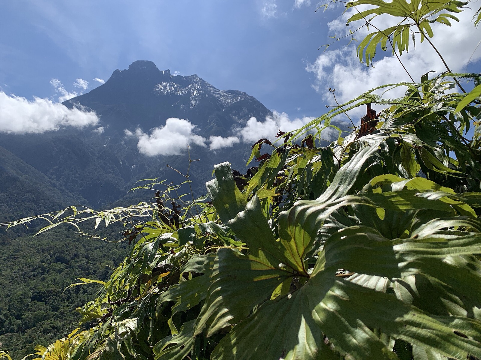
Visit Low’s Gully, the deepest and longest canyon on Mount Kinabalu, formed by glacial erosion and later shaped by rivers.Explore the traditional crafts of the Kadazandusun, Bajau, Dusun, and Rungus communities, including weaving, embroidery and decorative objects.Discover the unique flavours of Kadazandusun traditional cuisine, featuring dishes like purple rice, turmeric-cooked chicken, and salted egg paired with side dishes such as hinava (a raw fish salad), tuhau (wild ginger), sliced young p
The oddity, explained
Why is Kinabalu UNESCO Global Geopark unusual?
Kinabalu UNESCO Global Geopark appears here because the approved source classifies it as natural world. The source describes it as Visit Low’s Gully, the deepest and longest canyon on Mount Kinabalu, formed by glacial erosion and later shaped by rivers.Explore the traditional crafts of the Kadazandusun, Bajau, Dusun, and Rungus communities, including weaving, embroidery and decorative objects.Discover the unique flavours of Kadazandusun traditional cuisine, featuring dishes like purple rice, turmeric-cooked chicken, and salted egg paired with side dishes such as hinava (a raw fish salad), tuhau (wild ginger), sliced young p. Heritage Atlas treats that specific classification-and-description combination as the oddity; the score is a comparative discovery signal, not proof of mystery or the supernatural. Compare nearby records and the linked country or category collection to understand how this entry relates to places supported by the same governed evidence.
Evidence and further exploration
The coordinate, category and description remain tied to the cited source. Comparative oddness helps discovery; it does not add facts that the source does not provide.
Data last collected: 3 September 2026 for this retained atlas release. Page and source last rechecked: 3 September 2026. Treat the record as a research starting point: open the original source, confirm current access conditions and compare the mapped location with local guidance before travelling. A missing field means the approved source did not support it; it is not evidence that the feature or restriction does not exist.
Inspect the original evidence source ↗