Natural world · Evidence-led place record
Seridó UNESCO Global Geopark
BR
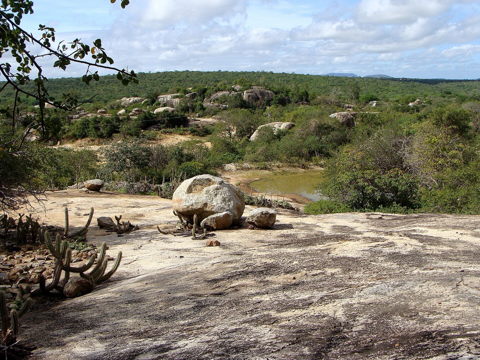
Seridó’s cultural heritage is diverse, and the geopark preserves the memory of ancient prehistoric peoples in more than 120 archaeological sites. The most outstanding are in the Carnaúba dos Dantas municipality, where 90 sites—particularly Xiquexique—show hunting and ritual scenes.Other cultural expressions of the region include cordel literature, mamulengos theatre, puppet performances like those of the guignol in France or the Italian pupazzi, and a strong religious heritage of Sephardi Judais
The oddity, explained
Why is Seridó UNESCO Global Geopark unusual?
Seridó UNESCO Global Geopark appears here because the approved source classifies it as natural world. The source describes it as Seridó’s cultural heritage is diverse, and the geopark preserves the memory of ancient prehistoric peoples in more than 120 archaeological sites. The most outstanding are in the Carnaúba dos Dantas municipality, where 90 sites—particularly Xiquexique—show hunting and ritual scenes.Other cultural expressions of the region include cordel literature, mamulengos theatre, puppet performances like those of the guignol in France or the Italian pupazzi, and a strong religious heritage of Sephardi Judais. Heritage Atlas treats that specific classification-and-description combination as the oddity; the score is a comparative discovery signal, not proof of mystery or the supernatural. Compare nearby records and the linked country or category collection to understand how this entry relates to places supported by the same governed evidence.
Evidence and further exploration
The coordinate, category and description remain tied to the cited source. Comparative oddness helps discovery; it does not add facts that the source does not provide.
Data last collected: 3 September 2026 for this retained atlas release. Page and source last rechecked: 3 September 2026. Treat the record as a research starting point: open the original source, confirm current access conditions and compare the mapped location with local guidance before travelling. A missing field means the approved source did not support it; it is not evidence that the feature or restriction does not exist.
Inspect the original evidence source ↗